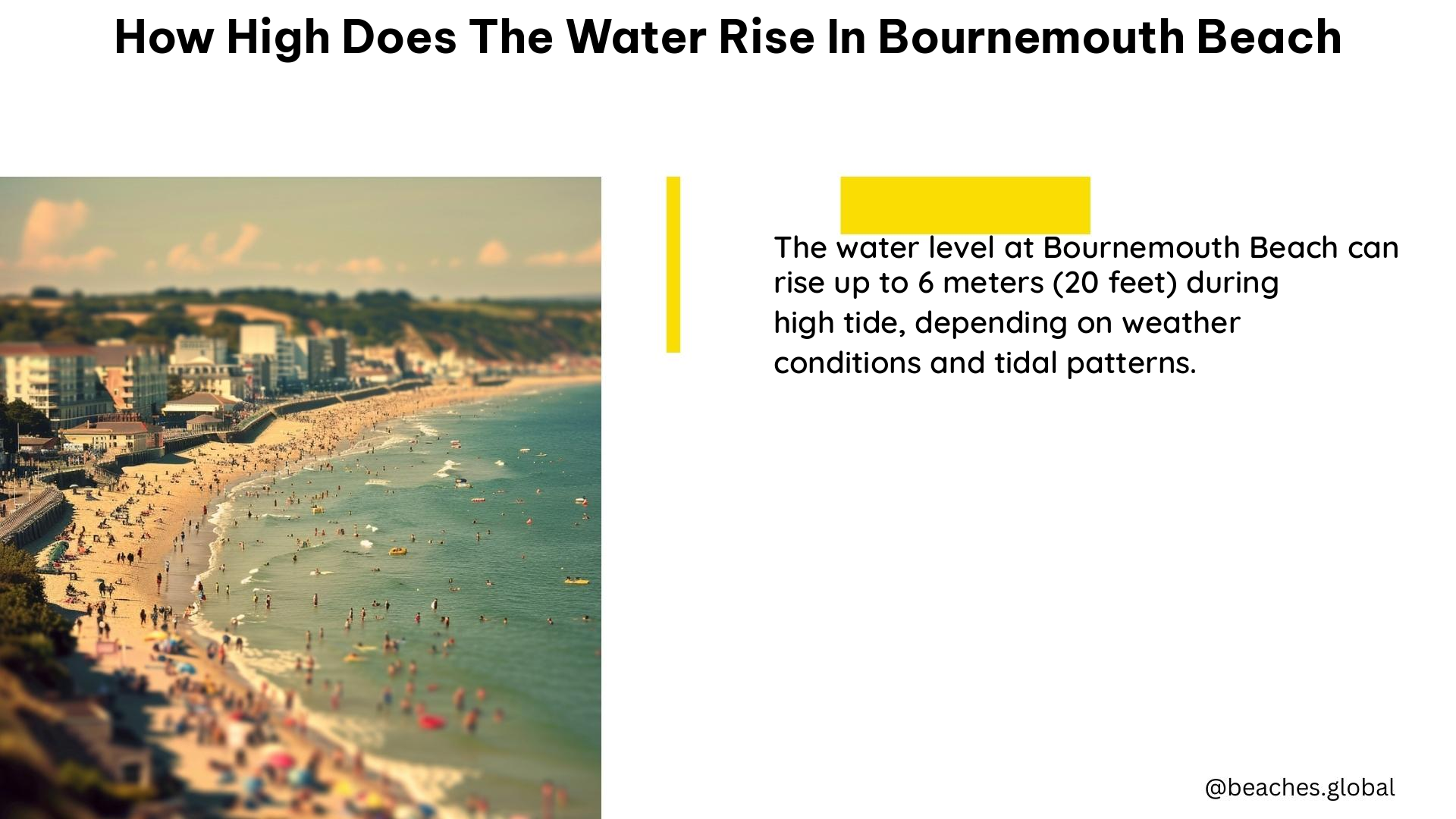
The water level at Bournemouth beach can vary depending on the tide and weather conditions. According to the UK government’s flood information service, the highest level recorded at the Bournemouth measuring station is 1.24m above the ordnance datum (AOD). However, this does not necessarily mean that the water level will reach this height during every tide.
The Tidal Range at Bournemouth Beach
In terms of the tidal range, it is not huge in Bournemouth, with the deepest depth under the pier being around 3-4m at high tide. The tidal flow can also affect the water level, with cross currents and eddies developing along the coast, particularly around features such as groynes and piers.
| Tide | Water Depth |
|---|---|
| Low Tide | 0-1m |
| High Tide | 3-4m |
As the table shows, the tidal range at Bournemouth beach is relatively modest, with the water depth ranging from 0-1m at low tide to 3-4m at high tide.
Artificial Beach Nourishment

It is worth noting that the beach itself has been artificially raised in recent years, with over 4 million tonnes of sand added to the south coast since 1999. This has been done to sustain the tourism industry and prevent criticism that off-shore dredging is “stealing” sand from the beaches.
This artificial beach nourishment has had an impact on the water level at Bournemouth beach. By raising the beach, the water level may not reach as high as it would have before the sand was added. However, the exact impact on the water level is difficult to quantify, as it will depend on various factors such as the tide, weather conditions, and the specific location along the beach.
Factors Affecting Water Level
In addition to the tidal range and artificial beach nourishment, there are several other factors that can affect the water level at Bournemouth beach:
- Weather Conditions: Strong winds, storms, and heavy rainfall can all contribute to higher water levels, particularly during high tide.
- Coastal Features: The presence of groynes, piers, and other coastal structures can create eddies and cross-currents that can affect the water level in localized areas.
- Offshore Conditions: Changes in offshore currents and wave patterns can also influence the water level at Bournemouth beach.
Monitoring Water Levels
The UK government’s flood information service provides real-time data on water levels at various locations along the coast, including the Bournemouth measuring station. This information can be useful for beachgoers and local authorities to monitor the water level and plan accordingly.
Additionally, the Bournemouth, Christchurch and Poole (BCP) Council also provides information on beach conditions, including water levels, on their website. This can be a valuable resource for those planning a visit to Bournemouth beach.
Conclusion
In summary, while the water level at Bournemouth beach can vary depending on the tide and weather conditions, it is unlikely to reach the highest level recorded at the measuring station during every tide. The tidal range is relatively modest, with the deepest depth under the pier being around 3-4m at high tide. The beach has also been artificially raised in recent years, which may impact the water level. Factors such as weather conditions, coastal features, and offshore conditions can also affect the water level at Bournemouth beach.
References:
– Bournemouth Echo – Areas of BCP underwater by 2030
– UK Government Flood Information Service – Bournemouth Measuring Station
– Divernet – Diving Under Bournemouth Pier
– Pistonheads – Bournemouth Beach Height
– Reddit – Why is the Beach so High?
