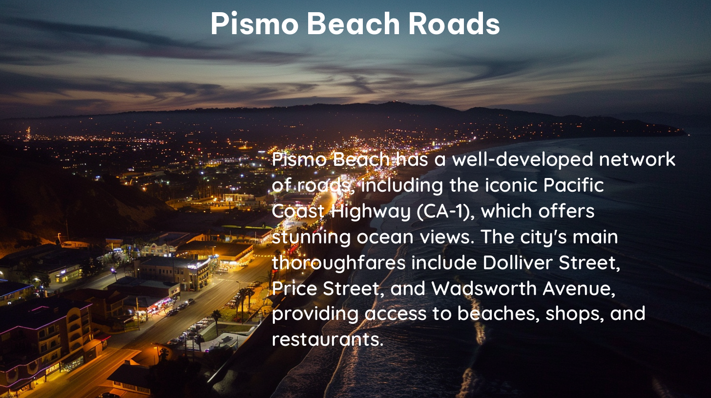
Pismo Beach, a picturesque coastal town in California, is a popular destination for beach enthusiasts and road trippers alike. The roads in Pismo Beach play a crucial role in providing access to the city’s stunning beaches, scenic coastal routes, and various attractions. In this comprehensive guide, we’ll explore the key details and updates on Pismo Beach roads, ensuring you have all the information you need to plan your next beach adventure.
Highway 41 Detour
One of the significant updates affecting Pismo Beach roads is the upcoming closure of a section of Highway 41 in Kings County. This highway is a common route for travelers from the Fresno area to Pismo Beach. Starting February 26, a 5-month closure will affect over 8 miles of the highway in both directions near Kettleman City.
To navigate this detour, commuters are advised to use Highway 198 in the Lemoore area to reach Interstate 5, which then connects to Highway 41 south of the road work in Kettleman City. This detour route will ensure you can still access Pismo Beach without significant delays.
Pismo Beach Pier & Promenade

The Pismo Beach Pier and Promenade are popular destinations for visitors, and the roads leading to these areas are well-maintained and easily accessible.
Parking
Parking at the Pismo Pier & Promenade is convenient, with paid parking lots available at various locations. The paid parking lot at the base of the pier between Pomeroy and Hinds Avenues costs $3-$5 per hour, while other lots on Main and Dolliver Streets and Pomeroy Avenue cost $2-4 per hour. Handicapped parking is available at posted locations.
Visitor Information Center
The Visitor Information Center operates out of a vintage Airstream trailer at the first diamond of the Pismo Pier, providing assistance seven days a week from 10 a.m. to 5 p.m. in winter and 7 a.m. to 7 p.m. in summer. This is a great resource for visitors to obtain information about the area, including updates on road conditions and local attractions.
Road Conditions and Updates
Staying informed about the current road conditions and any updates is crucial for a smooth and enjoyable beach trip.
Real-time Updates
For real-time information on traffic flow, delays, accidents, construction, and closures, you can use interactive maps that provide live updates. These maps are regularly updated, allowing you to zoom in and access localized data.
Traffic Alerts
To stay up-to-date on the latest road closures and construction, you can follow Caltrans District 5 on Twitter for real-time traffic alerts and updates.
Other Road Projects
In addition to the Highway 41 detour, the city of Pismo Beach is also undertaking a paving project on various roads, including Mattie Road, Corralitas, and the north and south sides of the Highway 101 Bridge.
Emergency Services
For information on current road closures and delays, you can contact the San Luis Obispo County Office of Emergency Services at 805-781-5678 or email them at [email protected].
Additional Resources
For more comprehensive information on traffic conditions and road closures in the Pismo Beach area, you can visit the California Department of Transportation (Caltrans) website or follow their social media accounts.
By staying informed about the Pismo Beach roads, you can plan your beach trip with confidence, ensuring a seamless and enjoyable experience. Whether you’re exploring the scenic coastal routes, visiting the iconic Pismo Beach Pier, or simply enjoying the sun and sand, the roads in Pismo Beach will be your gateway to an unforgettable beach adventure.
References:
– Experience Pismo Beach – 2024 Highway 41 Detour
– Highway 1 Road Trip – Pismo Beach Pier and Plaza
– San Luis Obispo County Office of Emergency Services – Road Closures
– City of Pismo Beach – Paving Project
– Local Conditions – Pismo Beach Traffic
